BIM Services
Scan to BIM
One Team, thanks to the partnership with Leica Geosystems, is able to supply products and services in the matter of SCAN TO BIM, understood as the process of real data acquisition, using specific tools, to obtain the digital version of what exists, which will be then integrated in the BIM workflow.
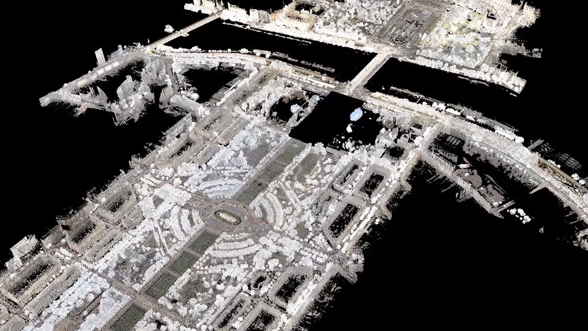
Point cloud
The acquisition of real data can be achieved using traditional technologies or thanks to innovative methodologies that marked a leap in the survey (?) world, achieving what is known as point cloud. How does it differ from the past? It pertains to the quantity of the data gathered: we are not talking about data but big data. This allows for a model in which the interdistance between points, in relation to the real object surveyed, is negligible, getting closer to the definition of continuous model. Only this type of survey, thanks to the density of the gathered points, allows for the observation of the cloud effect.


