One Team creates GIS solutions

Geographic Information System

One Team offers and develops GIS solution for the digital management of the territory, particularly to what regards urban, environmental, infrastructural and geomarketing data, for PA, companies, and practices.
GIS (Geographic Information System) is an information system that allows the graphic and symbolic representation of information related to the territory and, through thematic maps and analytical tools, enables the integration, the interpretation and the elaboration (even complex) of the managed information, supporting the decision-making process.
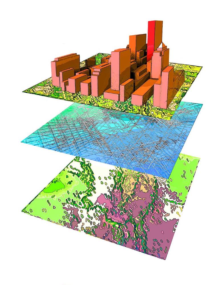
sistemi informativi territoriali
esri silver partner

A modern territory management requires continuous and structured flows of information, ability to evaluate and analyze the occurring transformations, alacrity in the production of answers to events, interoperability with different systems such as Artificial Intelligence, BIM, Internet of Things (IoT) and immersive technologies.
One Team is Esri Network Silver Partner and, thanks to the many projects developed, the multidisciplinary expertise of the personnel and the certifications acquired, is able to offer users the best architectural solutions in what regards ESRI GIS.

Do you want to receive more
information?

Call us

02 47719331

Do you want to receive more
information?

Call us

02 47719331